Landscape Matters is a partnership with local authorities & the University of Reading, to develop & apply Landscape Character Assessment as a tool for land use planning & management.
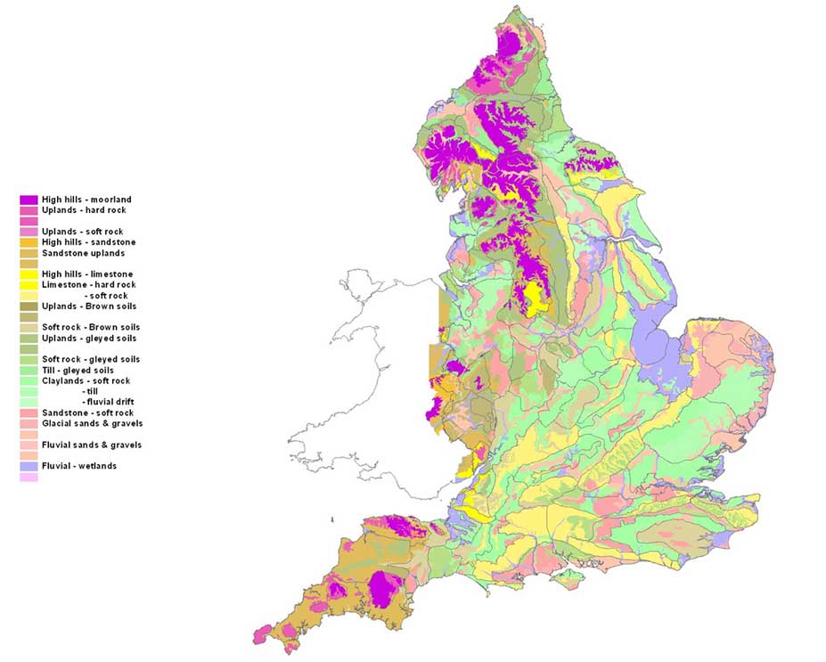
Since its inception Landscape Matters has worked in close partnership with Local Authorities and national government agencies across 15 counties to map LCAs covering over 50 percent of the land area of England. Landscape Matters also produced the first national map of the natural and cultural dimensions of the English landscape.

Landscape Matters has considerable experience in the development and application of LCA for integrated land use planning and management of the countryside. This ensures that the diversity and distinctiveness of rural landscapes is both maintained and enhanced. As a founding member of Landscape Matters, Steven Warnock has pioneered techniques for mapping Land Description Units (LDUs) at a range of scales. These extend from broad ‘Level 1’ maps, at 1:250 000 scale, to the more commonly applied ‘Level 2’ scale at 1:50 000, down to more detailed ‘Level 3’ Land Cover Parcel (LCP) maps at the finest scale. This mapping, usually supported by data on the ecological, cultural and visual components of the landscape from field survey, is being applied to landscape guidance and management, which incorporates studies of landscape sensitivity and capacity, habitat expansion and restoration etc.
